Arapaoa Island

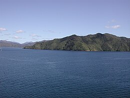
Southern end of Arapaoa Island
|
|
| Geography | |
|---|---|
| Location | Marlborough Sounds |
| Coordinates | 41°11′22″S 174°18′10″E / 41.18951°S 174.30290°ECoordinates: 41°11′22″S 174°18′10″E / 41.18951°S 174.30290°E |
| Area | 75 km2 (29 sq mi) |
| Length | 28 km (17.4 mi) |
| Width | 4 km (2.5 mi) |
| Highest elevation | 559.4 m (1,835.3 ft) |
| Highest point | Narawhia |
| Administration | |
|
New Zealand
|
|
| Demographics | |
| Population | 50 |
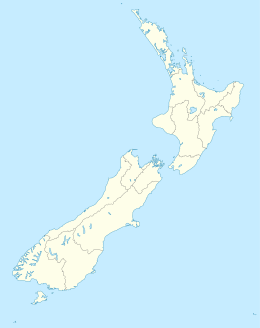
Arapaoa Island, formerly known as Arapawa Island, is a small island located in the Marlborough Sounds, at the north east tip of the South Island of New Zealand. The island has a land area of 75 km2 (29 square miles). Queen Charlotte Sound defines its western side, while to the south lies Tory Channel, which is on the sea route from Wellington in the North Island to Picton. Cook Strait's narrowest point is between Arapaoa Island's Perano Head and Cape Terawhiti in the North Island.
According to Māori oral tradition, the island was where the great navigator Kupe killed the octopus Te Wheke-a-Muturangi.
It was from a hill on Arapaoa Island in 1770 that Captain James Cook first saw the sea passage from the Pacific Ocean to the Tasman Sea, which was named Cook Strait. This discovery banished the fond notion of geographers that there existed a great southern continent, Terra Australis. A monument at Cook's Lookout was erected in 1970.
From the late 1820s until the mid-1960s, Arapaoa Island was a base for whaling in the Sounds. John Guard established a shore station at Te Awaiti in 1827 for right whales. Later, the station at Perano Head on the east coast of the island was used to hunt humpback whales from 1911 to 1964 (see Whaling in New Zealand). The houses built by the Perano family are now operated as tourist accommodations.
...
Wikipedia

