Apostle Islands National Lakeshore
| Apostle Islands National Lakeshore | |
|---|---|
|
IUCN category V (protected landscape/seascape)
|
|

A sandy beach at the Little Sand Bay Visitor Center
|
|
| Location | Ashland County and Bayfield County, Wisconsin, United States |
| Nearest city | Bayfield, Wisconsin |
| Coordinates | 46°57′55″N 90°39′51″W / 46.96528°N 90.66417°WCoordinates: 46°57′55″N 90°39′51″W / 46.96528°N 90.66417°W |
| Area | 69,372 acres (280.74 km2) |
| Established | September 26, 1970 |
| Visitors | 176,040 (in 2011) |
| Governing body | National Park Service |
| Website | Apostle Islands National Lakeshore |
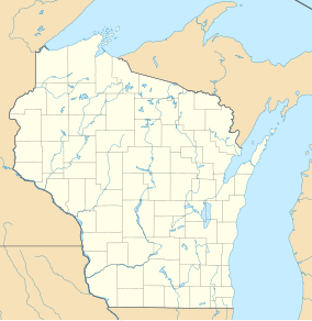
The Apostle Islands National Lakeshore is a U.S. national lakeshore consisting of 21 islands (Apostle Islands) and shoreline encompassing 69,372 acres (28,074 ha) on the northern tip of Wisconsin on the shore of Lake Superior. It is known for its collection of historic lighthouses, sandstone sea caves, a few old-growth remnant forests, and natural animal habitats.
The Apostle Islands National Lakeshore is located in Bayfield, Wisconsin, on Lake Superior, the “largest, cleanest, and coldest of the Great Lakes.” The lakeshore comprises beaches, cliffs, water, and 21 islands.Madeline Island is the only one of the Apostle Islands not included in the national lakeshore, although a portion of the island is protected as Big Bay State Park. The island's accessibility by ferry or ice road, along with the shops, restaurants and other commercial establishments of the island town of La Pointe, make it popular with visitors to the national lakeshore.
Beginning in the west, going north around the outer islands, then west, then east, ending with the southernmost island, the islands are:
Historical evidence suggests that another island formerly existed alongside Eagle Island. It was known as Steamboat Island, although this name was apparently also used for Eagle Island itself, in which case Steamboat Island was called "Little Steamboat Island." Multiple sources dating from August 1901 document the disappearance of the island around that time, due to unknown natural forces.
The Apostle Islands are a result of the glaciers that once covered North America. “Geologically they are originally part of the main land at the edge of the great rift or fault which formed the depression to which the waters of Lake Superior collected.” When the glaciers melted, waves from the waters of Lake Superior caused erosion that formed the islands. The islands are composed of mostly red sandstone because of the glacial shift.
It is widely assumed that Indians were the first to inhabit the island. “There is some evidence that they were seen and possibly visited sometime in the fourteenth century by Indians who were making their way to Isle Royale near the north shore of the land in search of copper.” Not long after, the islands were visited by Étienne Brûlé, a French explorer who, like many French Canadians, was trying to discover a new way to the East Indies. "Historians believe that the Jesuits named the islands the Apostle Islands according to their practice of giving holy names to new places." It is said that fur traders were the first explorers to settle in the area, building a village from the money they brought in.
...
Wikipedia


