1984–85 South-West Indian Ocean cyclone season
| 1984–85 South-West Indian Ocean cyclone season |

Season summary map
|
| Seasonal boundaries |
| First system formed |
November 9, 1984 |
| Last system dissipated |
April 18, 1985 |
| Strongest storm |
|
| Name |
Helisaonina |
| • Maximum winds |
175 km/h (110 mph)
(10-minute sustained) |
| • Lowest pressure |
941 hPa (mbar) |
| Seasonal statistics |
| Total depressions |
9 |
| Total storms |
9 |
| Tropical cyclones |
1 |
| Total fatalities |
Unknown |
| Total damage |
Unknown |
| Related articles |
|
|
South-West Indian Ocean tropical cyclone seasons
1982–83, 1983–84, 1984–85, 1985–86, 1986–87
|
| Tropical storm (SSHWS) |
|
|
| Duration |
November 9 – November 17 |
| Peak intensity |
85 km/h (50 mph) (1-min) 987 hPa (mbar) |
| Moderate tropical storm (MFR) |
|
|
| Duration |
November 20 – November 23 |
| Peak intensity |
65 km/h (40 mph) (10-min) 1003 hPa (mbar) |
| Moderate tropical storm (MFR) |
| Tropical storm (SSHWS) |
|
|
| Duration |
December 2 – December 8 |
| Peak intensity |
80 km/h (50 mph) (10-min) 984 hPa (mbar) |
| Severe tropical storm (MFR) |
| Category 1 tropical cyclone (SSHWS) |
|
|
| Duration |
January 12 – January 20 |
| Peak intensity |
95 km/h (60 mph) (10-min) 976 hPa (mbar) |
| Severe tropical storm (MFR) |
| Category 1 tropical cyclone (SSHWS) |
|
|
| Duration |
January 27 – January 31 |
| Peak intensity |
115 km/h (70 mph) (10-min) 966 hPa (mbar) |
| Moderate tropical storm (MFR) |
| Tropical storm (SSHWS) |
|
|
| Duration |
February 3 – February 11 |
| Peak intensity |
80 km/h (50 mph) (10-min) 984 hPa (mbar) |
| Moderate tropical storm (MFR) |
| Category 1 tropical cyclone (SSHWS) |
|
|
| Duration |
February 11 – February 22 |
| Peak intensity |
80 km/h (50 mph) (10-min) 984 hPa (mbar) |
| Severe tropical storm (MFR) |
| Tropical storm (SSHWS) |
|
|
| Duration |
February 12 – February 18 |
| Peak intensity |
95 km/h (60 mph) (10-min) 976 hPa (mbar) |
| Tropical cyclone (MFR) |
| Category 3 tropical cyclone (SSHWS) |
|
|
| Duration |
April 10 – April 18 |
| Peak intensity |
150 km/h (95 mph) (10-min) 941 hPa (mbar) |
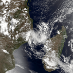
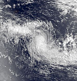
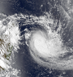
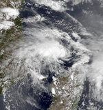
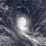
The 1984–85 South-West Indian Ocean cyclone season was an average cyclone season. Tropical cyclones in this basin are monitored by the Regional Specialised Meteorological Centre in Réunion. The first storm formed in mid-November, though it was not officially named. A few days later, the first official storm of the year (Anety) formed. In December, one storm formed. During January 1985, two tropical cyclones formed towards the end of the month. Three more systems developed in a short period of time in early to mid-February. After nearly two more months of inactivity, an unusually powerful late season storm developed (Helisaonina) in mid-April, which was the strongest storm of the year. While a number of storms during the season reached severe tropical storm status, only one of those intensified further. Even though two tropical cyclones this year made landfall, no known damage was recorded.
During the season, advisories were issued by Météo-France's (MFR) meteorological office at Réunion. At the time, the MFR area of warning responsibility was from the coast of Africa to 80° E, and the agency primarily used the Dvorak technique to estimate the intensities of tropical cyclones. The Joint Typhoon Warning Center (JTWC), which is a joint United States Navy – United States Air Force task force that issues tropical cyclone warnings for the region, also tracked a long-lived tropical storm in November in addition to the 8 storms MFR named, which is comparable to the average of nine named storms per year. Following the season, the boundary for the basin was extended to 90° E.
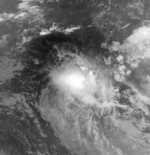
According to the JTWC, a tropical depression formed on November 9 quite far from land. However, the system was never monitored by MFR. Tracking southwest throughout its lifetime, the JTWC upgraded the system into a tropical storm on November 11. Twelve hours later, the storm attained peak intensity of 50 mph (80 km/h). The storm gradually weakened, and at 0000UTC on November 14, it fell to a depression. On November 17, 01S was no more.
...
Wikipedia


